When the earth starts roaring just 35 kilometers from a major capital city, you stop ignoring the rumblings.
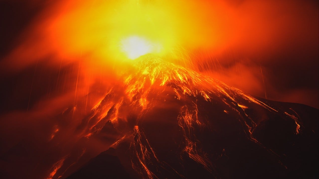
Guatemala’s Volcán de Fuego erupted with terrifying intensity, sending towering ash clouds nearly 6 kilometers into the sky and triggering a nationwide orange alert. If you think this is just another routine puff of smoke, look closer. Central America's most active volcano is entering a much more dangerous, explosive phase.
The Reality of Living Next to Fuego
Fuego translates to "Fire," and the mountain lives up to its name every single day. Rising 3,763 meters above sea level, it overlooks tourist hotspots and quiet farming villages alike. People often ask why anyone stays in its shadow. The truth is simple. Volcanic soil is incredibly fertile for farming, and relocation isn't economically viable for most local families.
The latest crisis began when monitoring parameters spiked sharply. Seismic activity surged, and fast-moving pyroclastic density currents began barreling down multiple ravines, including the Seca, Ceniza, and Las Lajas channels. These aren't slow-moving streams of glowing red lava you can casually step away from. Pyroclastic flows are superheated avalanches of gas, ash, and rock reaching temperatures of hundreds of degrees. They move faster than a car on the highway.
What Authorities Are Doing Right Now
Guatemala's disaster agency, CONRED, didn't wait around for disaster to strike. They declared a nationwide orange alert, which sits just one tier below maximum emergency status.
Preventive evacuations kicked off immediately in vulnerable communities like El Porvenir and Las Lajitas. Schools in surrounding municipalities suspended in-person classes. Furthermore, authorities slammed the brakes on regional transit by closing national highway RN-14 and roads connecting the southern coast to Antigua, the famous UNESCO World Heritage site. Ashfall has blanketed entire regions, forcing residents to seal water containers and wear masks just to breathe outside.
The Dark History Nobody Wants to Repeat
Memory runs long in Guatemala, and for good reason. Everyone remembers the catastrophic June 2018 eruption. That disaster caught many off guard, resulting in over 200 deaths when blistering pyroclastic flows swept through populated towns.
Subsequent eruptions in 2023 and 2025 forced hundreds of emergency evacuations, proving that Fuego never truly sleeps. Scientists from INSIVUMEH note that lava fountains reaching up to 300 meters high are now pulsing from the main crater. When fountains like that drop incandescent blocks of rock onto steep slopes, new destructive flows trigger instantly.
How to Stay Safe If You Are in the Region
If you are tracking this event or traveling through Guatemala right now, you need concrete safety steps. Do not rely on casual updates.
- Keep a 72-hour emergency backpack packed with water, non-perishable food, and essential documents.
- Monitor official channels from CONRED and INSIVUMEH rather than unverified social media rumors.
- Stay completely away from riverbeds and volcanic ravines where superheated flows travel.
- If local civil protection officers issue an evacuation order, leave immediately without hesitation.
Nature sets the terms here. Respect the mountain and pay attention to the warnings before it's too late.